
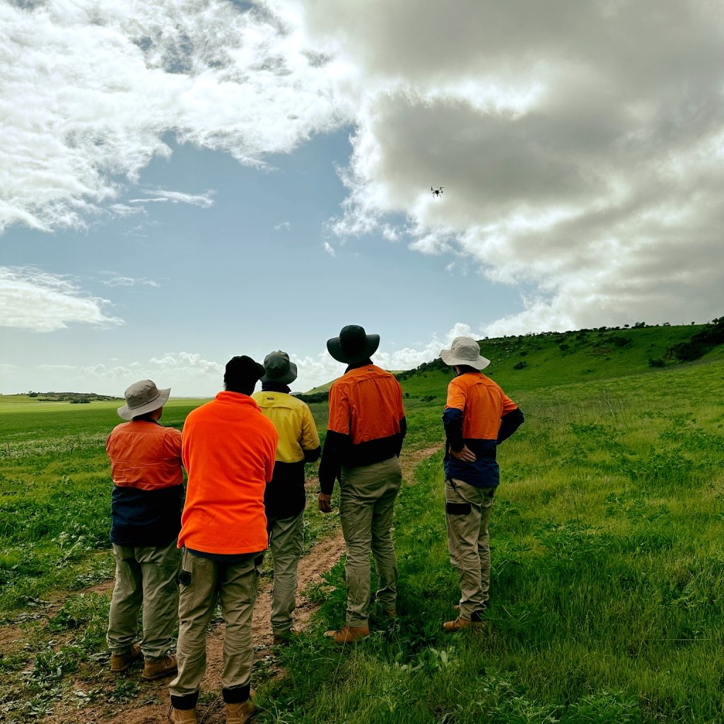
UAVs (Unmanned Aerial Vehicles), commonly known as drones, are transforming the way aerial surveying and mapping are carried out.
Peter Chaplyn, one of our Directors, is also our Chief Controller for remotely piloted aircraft systems!
Flying at low altitudes, UAVs capture highly detailed, high-resolution aerial imagery that can be used to create accurate data and visualisations for a wide range of applications.
Our UAV services can assist with:
 Volume Surveys – Accurately measure stockpiles, earthworks and other volumes.
Aerial Photography – Capture detailed aerial images for projects, inspections and documentation.
Digital Terrain Models – Create detailed 3D representations of the ground surface.
Contour Mapping – Produce accurate contour maps to support planning, design and construction.
Agricultural Mapping – Capture aerial data to help monitor land, crops and agricultural areas.
UAV technology provides a fast, efficient and highly detailed way to capture aerial data, helping businesses make informed decisions and better understand their sites.