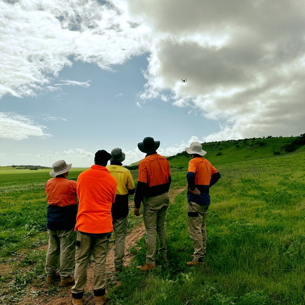
UAV Aerial Mapping & Surveying
UAVs (Unmanned Aerial Vehicles), commonly known as drones, are transforming the way aerial surveying and mapping are carried out. Peter Chaplyn, one of our Directors, is also our Chief Controller for remotely piloted aircraft systems! Flying at low altitudes, UAVs capture highly detailed, high-resolution aerial imagery that can be used to create accurate data and